 |
 |
 |
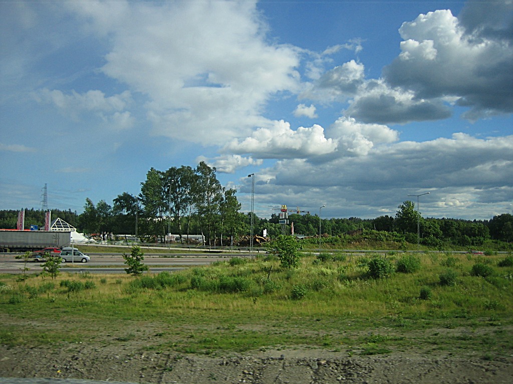
| On the Sankt Botvids road, or
during the twentieth century called Realm Road One (Riksväg 1, or
nicknamed "Riksettan"), or prior to that, Göta Country Road
(Göta Landsväg), where the cars are driving, is probably several thousands
of years old,
and has always been the main route towards the southern parts of the country.
|
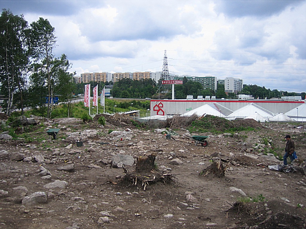
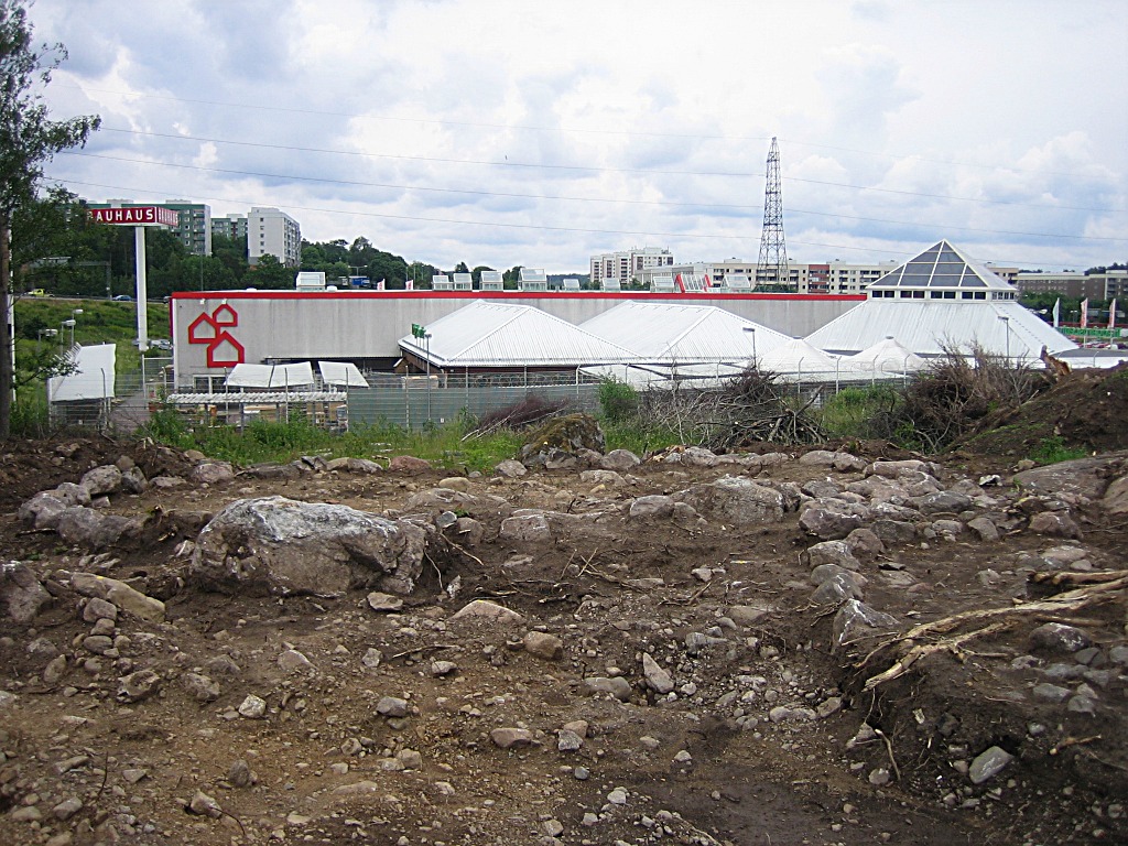
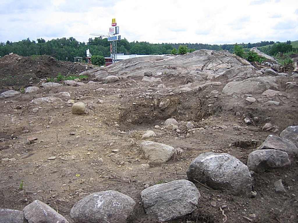
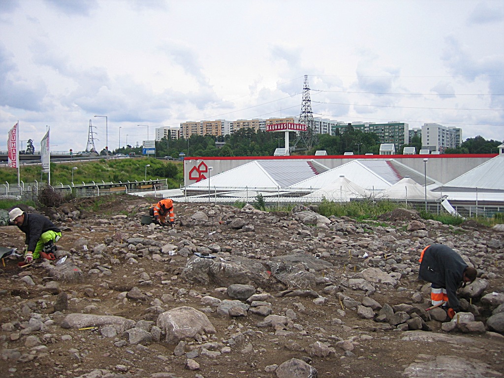
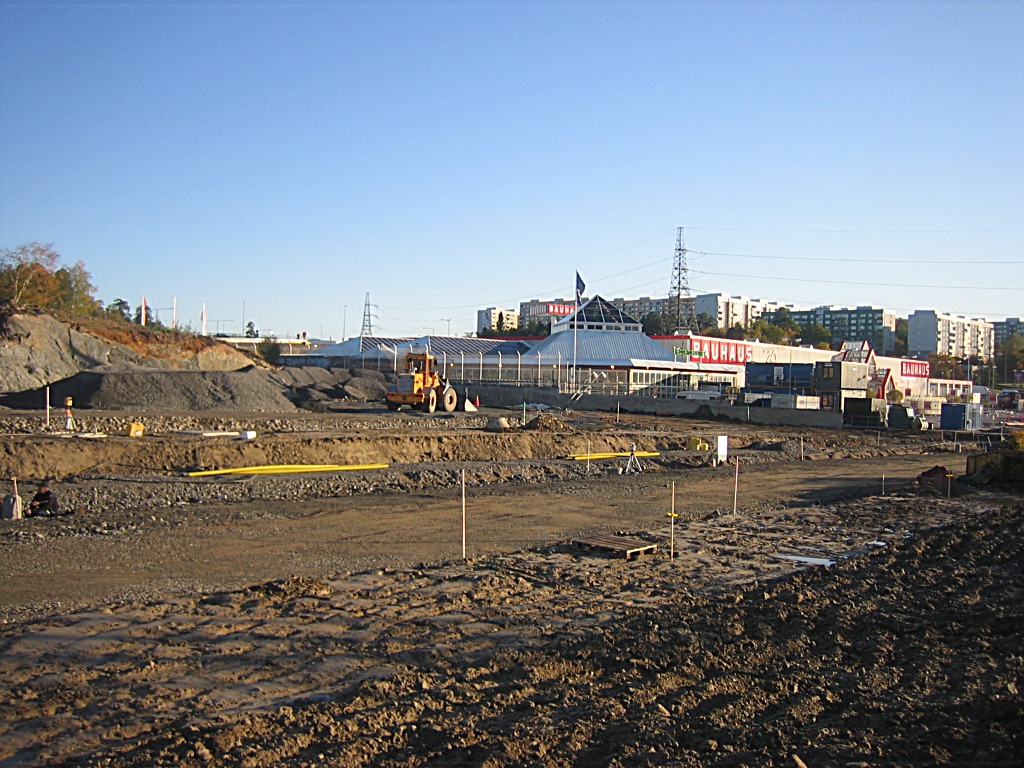
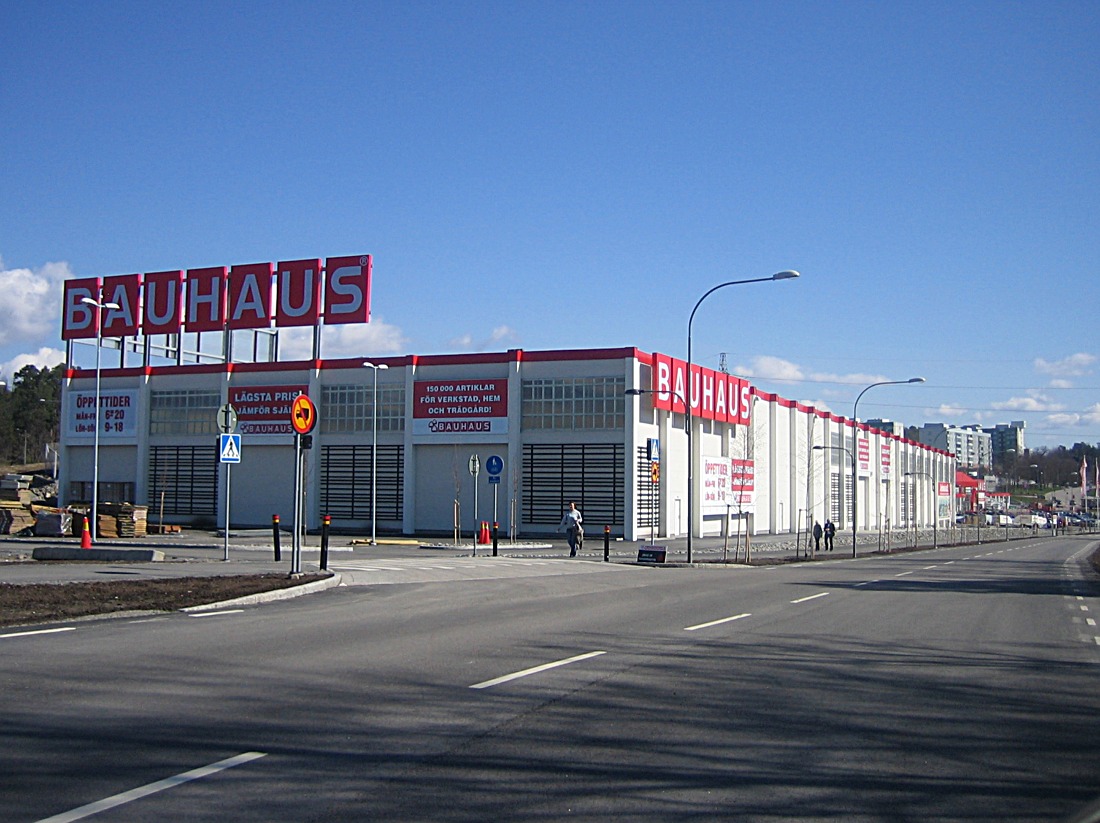
This hillock will be blown
away to make Bauhaus expand to a drive-in supermarket. To the right from here, a couple of hundred yards out of picture is the Göta Bridge, where the Göta country road crossed a creek before continuing down to Flottsbro where a simple form of ferry took people across the narrow passage between the Alby lake and Tullinge lake.
|
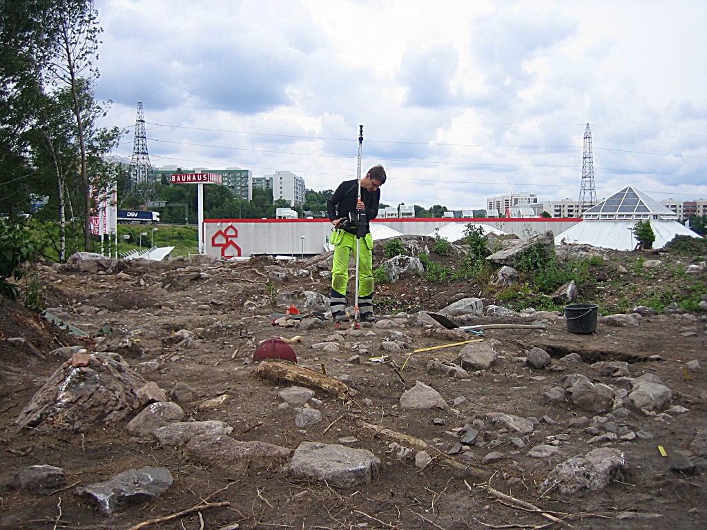
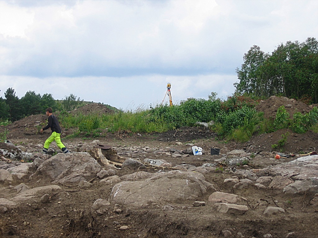
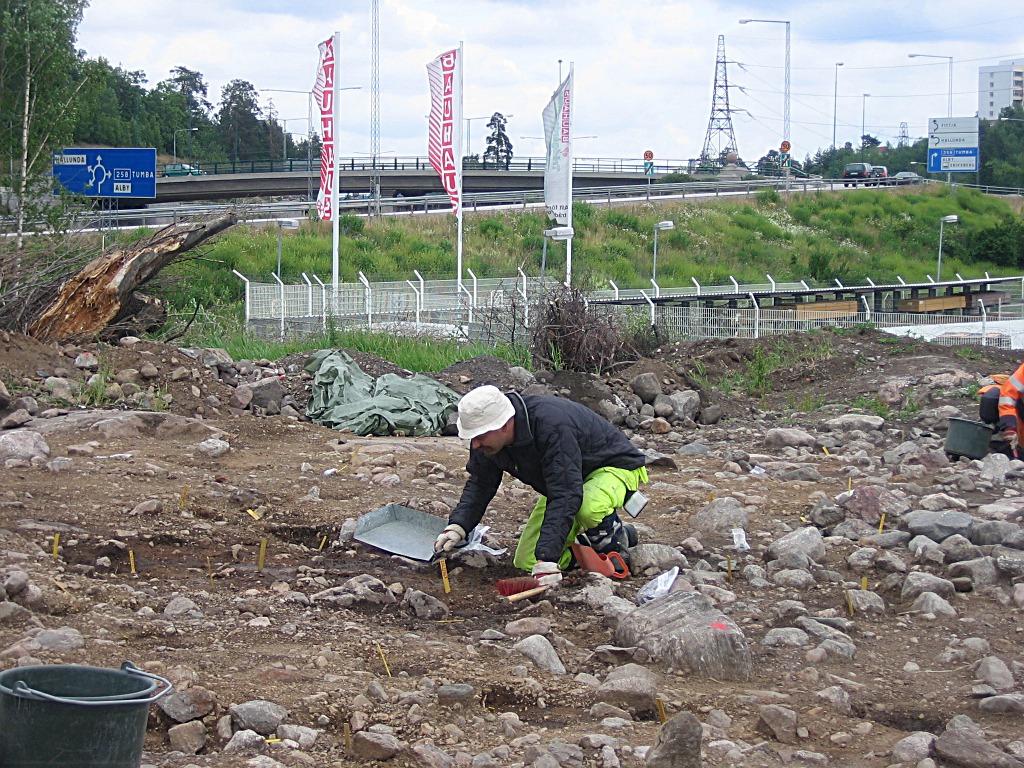
The excavator stands in the
middle of a grave ring, measuring and plotting a find with a laser
instrument placed on the hilltop. Right behind Bauhaus, across the road is the not yet excavated Svartlösa Tingsplats. The ancient form of a district court. It was moved down to Fittja when the new bridge and shorter road towards Stockholm was built in the seventeenth century.
|
 |
 |
 |
| Grave rings! Dated from the ninth century
|
One of the grave rings had a
part of a telephone pole from the twentieth century, exactly in
the centre of the grave. There are surely no vampires left in this area! ;-)
|
A large ring. |
 |
 |
 |
| I can't really tell... ...it might be a snuff bag, a strange Scandinavian behavior...;-)
|
The laser on top of the hill. | I would date this item to the
late fourties, nineteen fourties I mean. Probably from the last farm on the spot, Kumla Gård!
|
 |
 |
 |
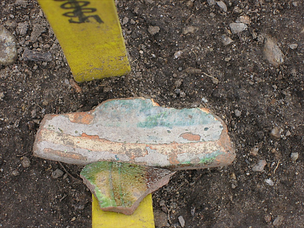
| This is interesting though...
|
...pieces of coloured pottery
from the sixteenth century. A nice find! |
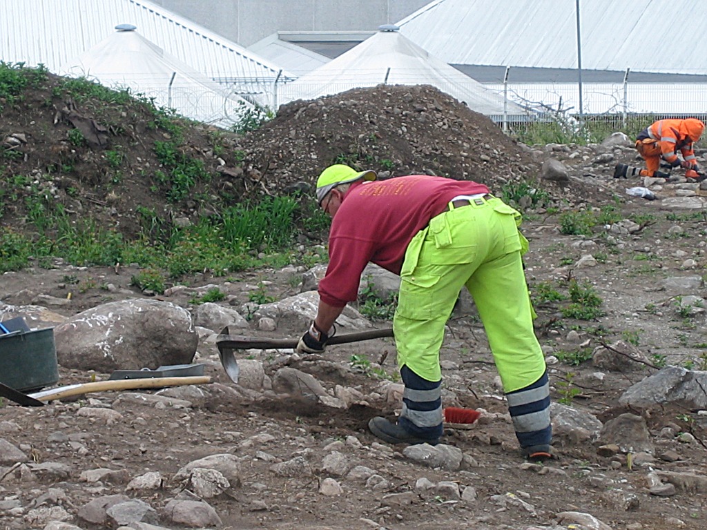
It looks like a rough tool,
but the excavator looked thouroghly at each part in the soil, before
throwing them over to the large pile in the background. :-)
|
 |
 |
 |
| This is a part of the
excavation a little closer to the present Bauhaus.
|
The nearest excavators have
found a cooking place each.
|
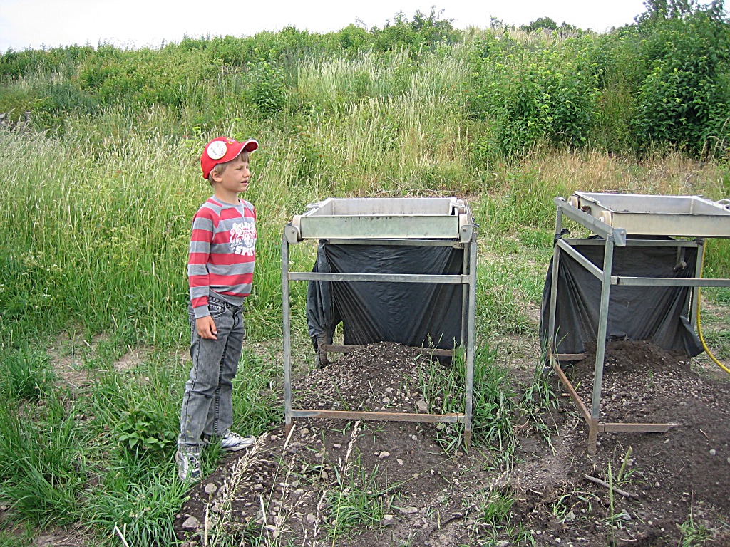
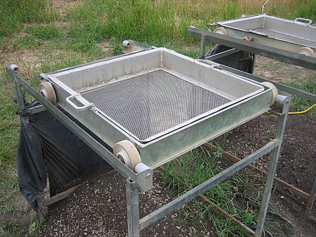
The soil is collected for
macro analysis. Perhaps we will get to know what they ate, and how long
ago?
|
 |
 |
 |
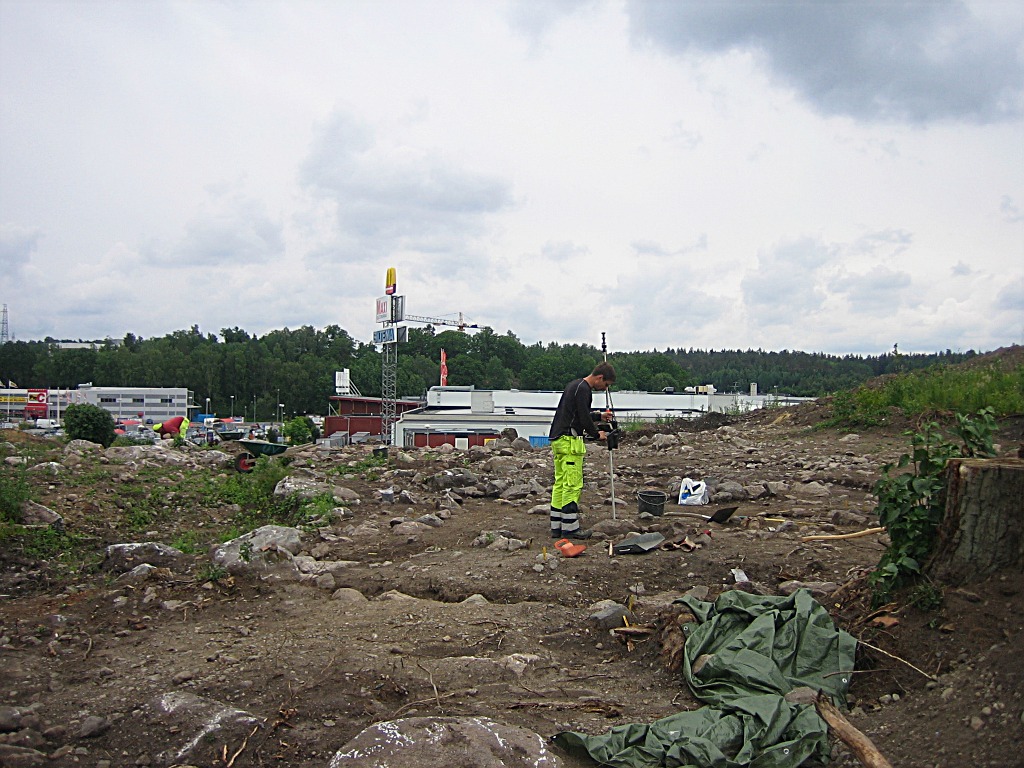
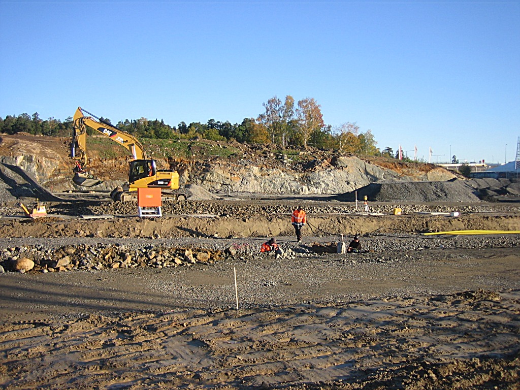
| I admire their patient and yet
eager work
|
Henrik actually understood what it was before I got time to tell. :-) | |
 |
||
|
|
The excavation site seen from
Realm Road One, from across the motorway.
|
|
|
This is a summary translated from
Swedish, of the results from the excavations done in 2008. The Kumla farm lot consists of at least 4 house foundations, Main building with two wings, and a barn. The buildings were still standing at the inventory in 1951. The lot was phosphate mapped in 1988, with findings from the Viking- and Middle Ages and traces in form of ditches of pre-Roman age. Findings and culture layer were left on the site. The latest excavation in 2008 has disclosed 14 house foundations, among them one house on poles dated to late Viking Age. A few cooking places, fragments of brick, roofing tiles, window glass, iron nails, flint, glazed tiles, burned wood, and porcelain. Five of the findings at this part of the Kumla farm lot are C14-dated from late Viking Age around the year 890 to 1620 AD. In the 17th century the farm was built that we know as Kumla farm that was demolished in the 1960s. The grave field consists of 19 graves, 15 stone settings, and three carved boulder graves, one of them with the roof missing. At least one sepulchral urn was found. In 9 of the graves were found burned bones, two red glass pearls, fragments of combs, one iron item, and fragments of pottery. One cooking place, and four holes after wood poles of pre-historic character, together with later piles of boulders cleared away from the fields, terraces edges, and a root cellar. A latter gravel road has damaged at least three graves. The grave field is dated from older Roman Iron- to Vendel Age (before 150 to 900AD).
|
||
|
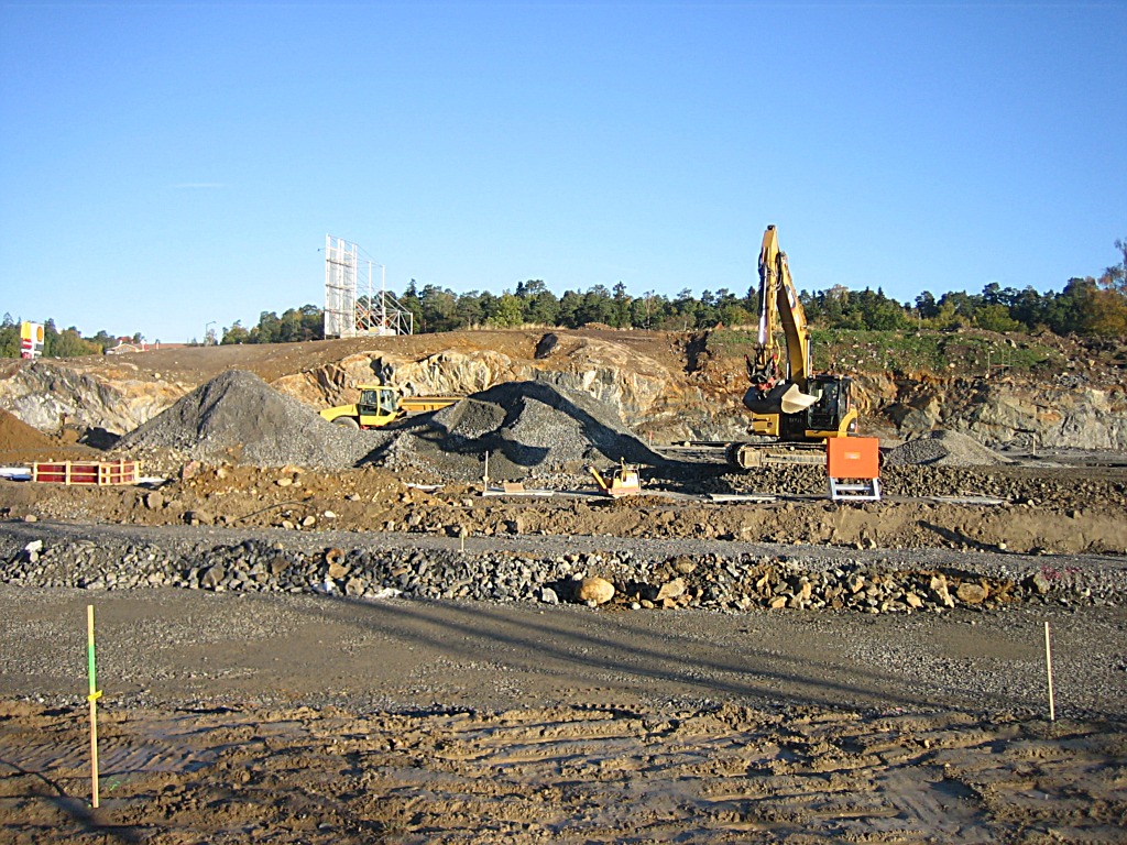
The construction work came to a halt the autumn 2008 due to the economic recession, but is now up and running again since the summer 2009.
|
||
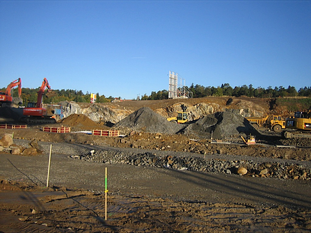
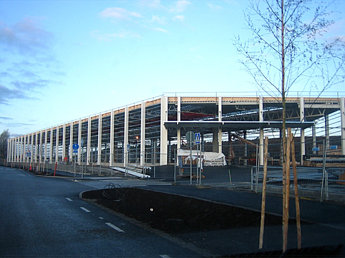
 The view towards west,...
|
Half the old hill is gone now
in early October 2009.
The pictures were taken from the adjacent Maxi-ICA parking lot. |
 ...and the view towards east,... |
|
 ...and the area in between. |
 |
 I believe they got the pillars up in only one day.
|
 Probably raised on October 13 or 14. |
 The pictures were taken around noon October 15. |
 November 19
|
 November 19
|
|
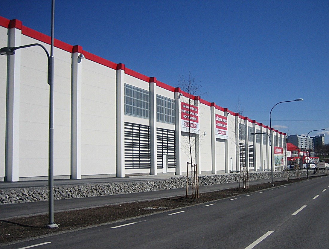
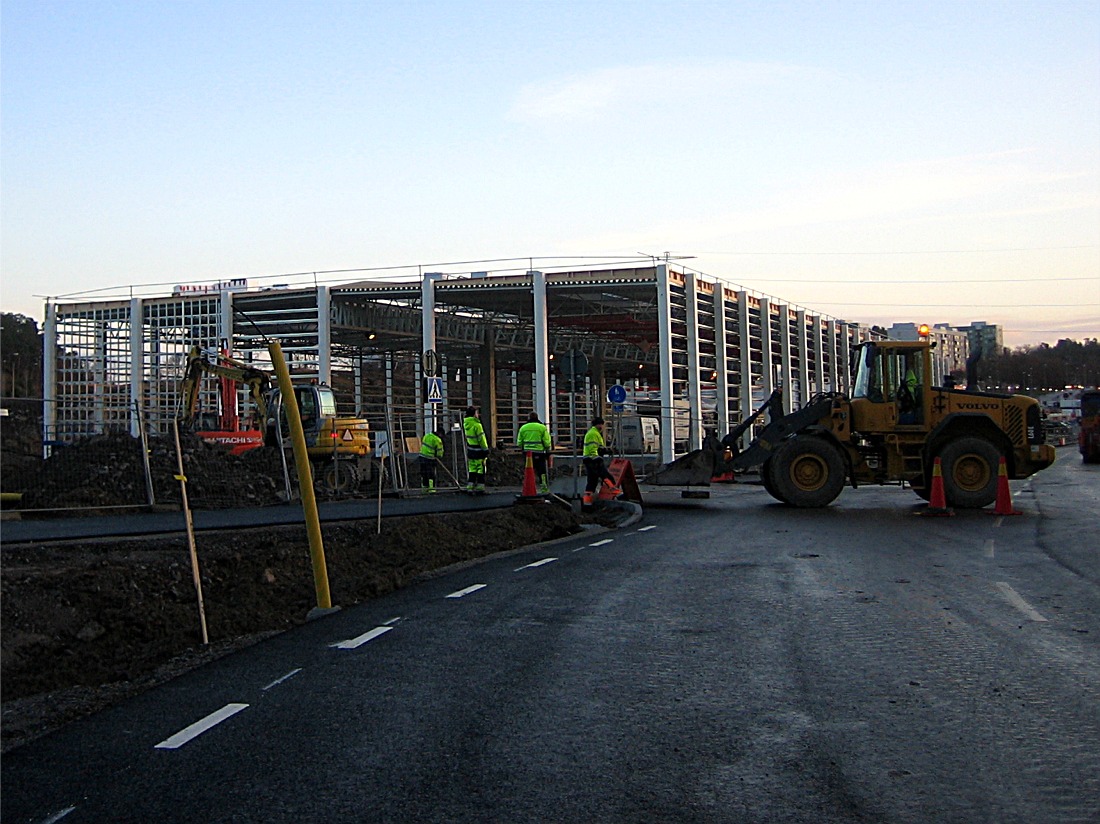 November 27. The new road beside the drive-in is finished, but not open to the public yet, I sneaked in! ;-)
|
 November 27. The new road with planted trees.
|
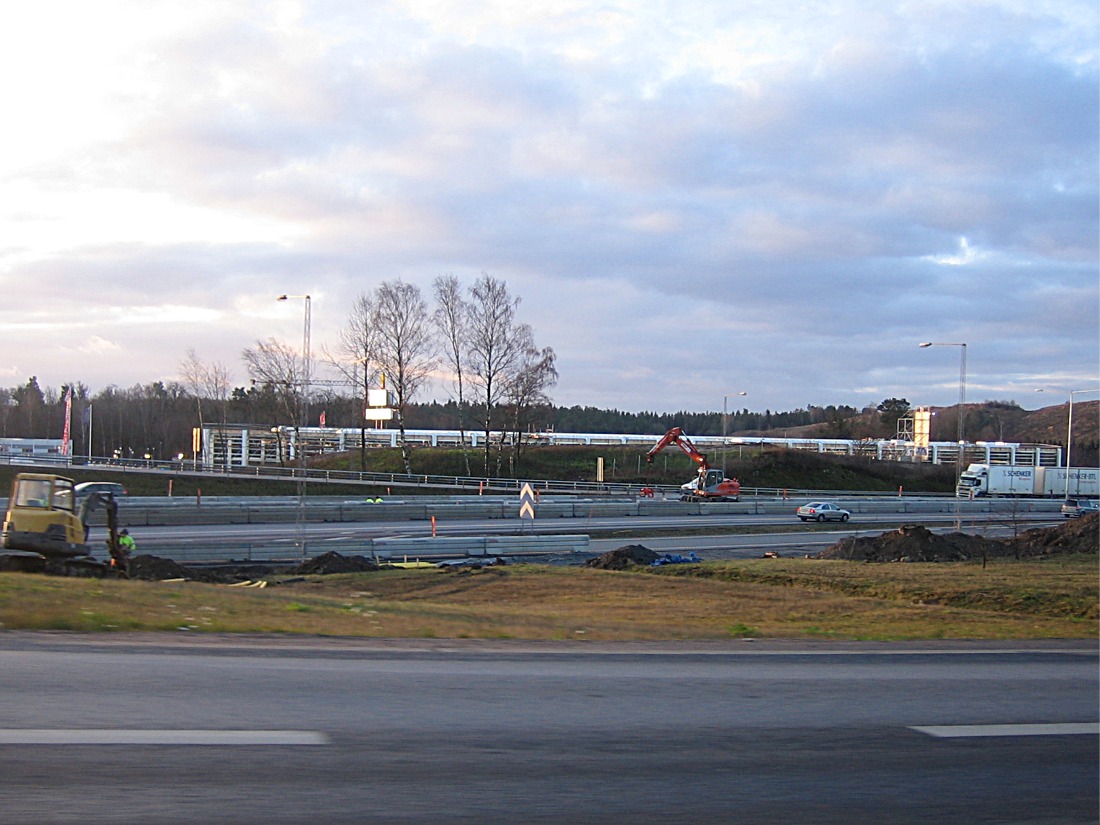 November 27, seen from Sankt Botvids Väg across the motorway. Work has even started on the motorway to broadening it to six lanes, at last, it has been a bottle neck for years!
|
|
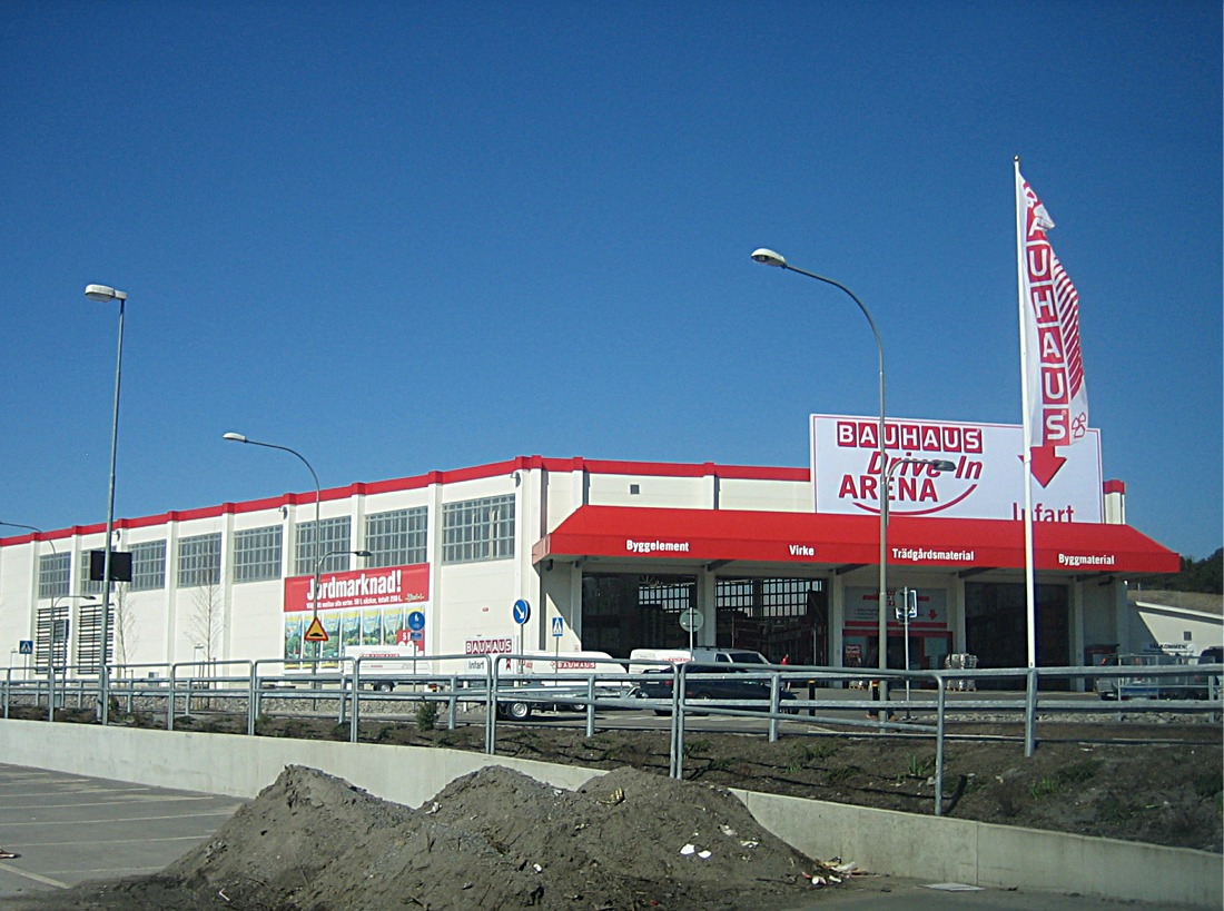
Now in April 2010 it is big inauguration!
|
|

|
||
|
That's all folks!? |
to be continued... eventually, if something comes up!
|
|
|
|
||